
Forecasting
Type of resources
Topics
Keywords
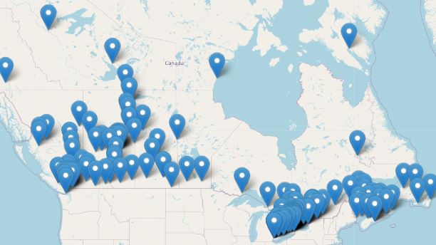
Contact for the resource
Provided by
Years
Formats
Representation types
Update frequencies
status
-
The Regional Air Quality Deterministic Prediction System FireWork (RAQDPS-FW) carries out physics and chemistry calculations, including emissions from active wildfires, to arrive at deterministic predictions of chemical species concentration of interest to air quality, such as fine particulate matter PM2.5 (2.5 micrometers in diameter or less). Geographical coverage is Canada and the United States. Data is available at a horizontal resolution of 10 km. While the system encompasses more than 80 vertical levels, data is available only for the surface level. The products are presented as historical, annual or monthly, averages which highlight long-term trends in cumulative effects on the environment.
-
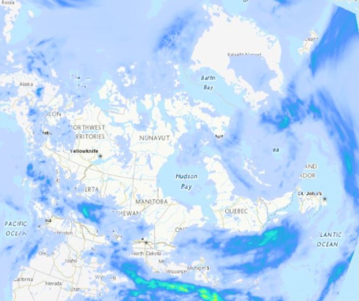
The Regional Deterministic Precipitation Analysis (RDPA) produces a best estimate of precipitation amounts that occurred over a period of 24 hours. The estimate integrates data from in situ precipitation gauge measurements, weather radar, satellite imagery and numerical weather prediction models. Geographic coverage is North America (Canada, United States and Mexico). Data is available at a horizontal resolution of 10 km. The 24 hour analysis is produced twice a day and is valid at 06 and 12 UTC. A preliminary analysis is available approximately 1 hour after the end of the accumulation period and a final one is generated 7 hours later in order to assimilate more gauge data.
-
WCPS-coupled forecast is the component in the Water Cycle Prediction System (WCPS) that provides the coupled atmosphere-ocean-sea ice forecasts at a 1km resolution (0.008 x 0.008 degree) over the Great Lakes, St. Lawrence River and the Gulf of St. Lawrence. It launches 4 times a day at 00, 06, 12, and 18 UTC and produces 84 hours forecast, based on the atmospheric model GEM, coupled with the ocean-ice model NEMO-CICE. The products from WCPS-coupled forecasts are (1) GEM : surface air temperatures, surface wind velocities, and surface runoff (2) NEMO-CICE : variety of lake/ocean sea ice variables, for example, lake levels and temperatures. They are designed to help forecasters issuing bulletins and warnings in ice-infestested waters for navigation, water level alert, emergency response, Search and Rescue, and CIS Sea Ice forecast.
-
The Regional Ensemble storm Surge Prediction System (RESPS) produces storm surge forecasts using the DalCoast ocean model. DalCoast (Bernier and Thompson 2015) is a storm surge forecast system for the east coast of Canada based on the depth-integrated, barotropic and linearized form of the Princeton Ocean Model. The model is forced by the 10 meters winds and sea level pressure from the Global Ensemble Prediction System (GEPS).
-
Meteorological forecasts are datasets that are products of current observations and are used to predict climate conditions for a future time and given location.
-
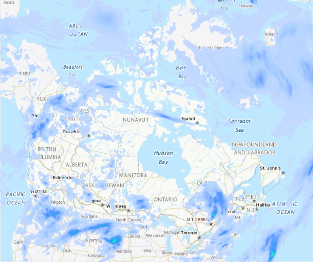
The Regional Deterministic Precipitation Analysis (RDPA) produces a best estimate of the amount of precipitation that occurred over recent past periods of 6 or 24 hours. The estimate integrates data from in situ precipitation gauge measurements, weather radar, satellite imagery and numerical weather prediction models. Geographic coverage is North America (Canada, United States and Mexico). Data is available at horizontal resolution of 10 km. Data is only available for the surface level. Analysis data is made available four times a day for 6h intervals and twice a day for the 24h interval. A preliminary estimate is available approximately 1h after the end of the accumulation period, and revised 7h after in order to assimilate gauge data arriving later.
-
The Air Quality Health Index (AQHI) is a scale designed to help quantify the quality of the air in a certain region on a scale from 1 to 10. When the amount of air pollution is very high, the number is reported as 10+. It also includes a category that describes the health risk associated with the index reading (e.g. Low, Moderate, High, or Very High Health Risk). The AQHI is calculated based on the relative risks of a combination of common air pollutants that are known to harm human health, including ground-level ozone, particulate matter, and nitrogen dioxide. The AQHI formulation captures only the short term or acute health risk (exposure of hour or days at a maximum). The formulation of the AQHI may change over time to reflect new understanding associated with air pollution health effects. The AQHI is calculated from data observed in real time, without being verified (quality control).
-
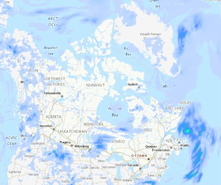
The Regional Deterministic Precipitation Analysis (RDPA) produces a best estimate of precipitation amounts that occurred over a period of 6 hours. The estimate integrates data from in situ precipitation gauge measurements, weather radar, satellite imagery and numerical weather prediction models. Geographic coverage is North America (Canada, United States and Mexico). Data is available at a horizontal resolution of 10 km. The 6 hour analysis is produced 4 times a day and is valid at 00, 06, 12 and 18 UTC. A preliminary analysis is available approximately 1 hour after the end of the accumulation period and a final one is generated 7 hours later in order to assimilate more gauge data.
-
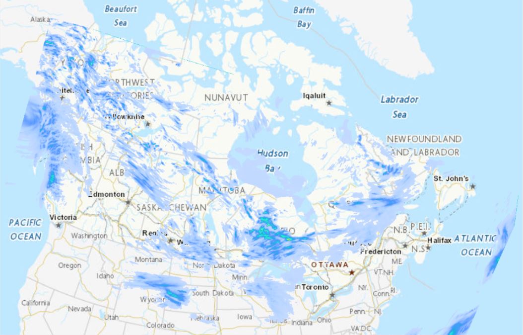
The Canadian Precipitation Analysis System (CaPA) produces a best estimate of 6 and 24 hour precipitation amounts. This objective estimate integrates data from in situ precipitation gauge measurements, radar QPEs and a trial field generated by a numerical weather prediction system. In order to produce the High Resolution Deterministic Precipitation Analysis (HRDPA) at a resolution of 2.5 km, CaPA is connected to the continental HRDPS for its trial field. CaPA-HRDPA produces four analyses of 6 hour amounts per day, valid at synoptic hours (00, 06, 12 and 18 UTC) and two 24 hour analysis valid at 06 and 12 UTC. A preliminary production is started 1 hour after valid time and a final one is launched 7 hours later. This translates into a production of 12 analyses per day.
-
The Global Deterministic storm Surge Prediction System (GDSPS) produces water level forecasts using a modified version of the NEMO ocean model (Wang et al. 2021, 2022, 2023). It provides 240 hours forecasts twice per day on a 1/12° resolution grid (3-9 km). The model is forced by the 10 meters winds, sea level pressure, ice concentration, ice velocity and surface currents from the Global Deterministic Prediction System (GDPS). The three dimensionnal ocean temperature and salinity fields of the model are nudged to values provided by the Global Ice-Ocean Prediction System (GIOPS) and the GDPS. During the post-processing phase, storm surge elevation (ETAS) is derived from total water level (SSH) by harmonic analysis using t_tide (Foreman et al. 2009).