
2002
Type of resources
Topics
Keywords
Contact for the resource
Provided by
Years
Formats
Representation types
Update frequencies
status
-
This dataset contains the concentrations of contaminants found in individual and pooled captured Yellow Perch (Perca flavescens) and Shorthead Redhorse (Moxostoma macrolepidotum) from 5 site locations (Stag Island, Lake Huron, Walpole Marsh, Chanel Ecarte, and Chenal Ecarte/Port Lambton) within the St. Clair River Area of Concern.
-
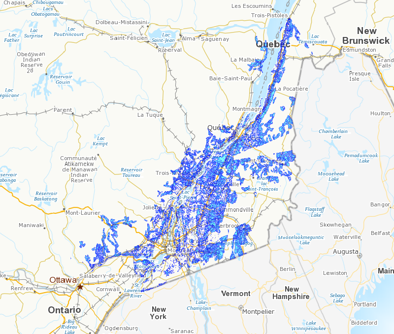
The highly diversified agriculture practised in Quebec in the past has been gradually replaced by more specialized agricultural practices and large-scale production. These changes have resulted in the disappearance of a significant portion of the woodlands that formerly were part of the agricultural landscape of southern Quebec. It is becoming increasingly clear that these woodlands performed a number of highly important ecological and agronomic functions within the larger ecosystem, while ensuring the survival of indigenous plant and animal species in the agricultural landscape. It follows that conserving the woodland islands that remain is of the utmost importance, particularly in the sectors of Quebec where agriculture has been practiced intensively in recent decades. In recent years, the Canadian Wildlife Service of Environment Canada has responded to the challenge of maintaining biodiversity in agricultural ecosystems by developing a Conservation Atlas of Woodlands in the Agricultural Landscape, the primary purpose of which is to determine the status of woodlands and forest fragmentation in southern Quebec. The Atlas also reflects the knowledge acquired to date on the use of these habitats by birds (many species of which are highly vulnerable to landscape fragmentation) and, as such, will complement the information already available on the presence of animal and plant species and will serve as a decision-making tool for managers and conservation groups in the region.
-
The Ice Thickness Program Collection contains ice thickness and snow depth measurements for 11 sites. Measurements are taken at approximately the same location every year on a weekly basis, starting after freeze-up when the ice is safe to walk on, and continuing until break-up or when the ice becomes unsafe. The location is selected close to shore, but over a depth of water which will exceed the maximum ice thickness.