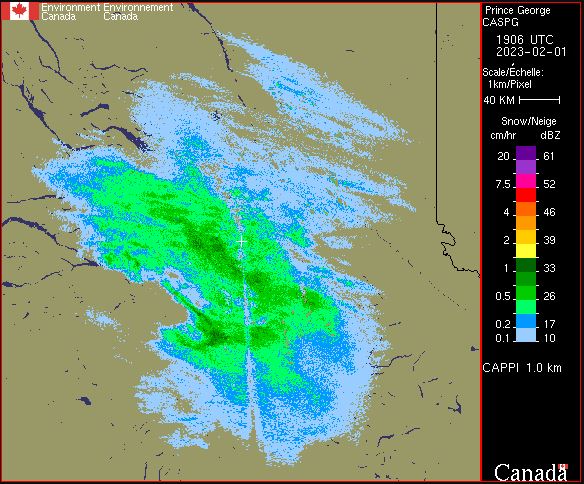
Weather Radar - CAPPI
Due to the curvature of the Earth, the height of a radar beam, in relation to the ground, increases as it travels further from the radar. When the radar is pointed down near the ground (a low elevation angle), the beam starts off near the ground but then its height above the ground slowly increases. By the time that same beam is 200 km from the radar, it is at a height of around 4 km above the ground. In order to get a better sense of what is happening at one approximate height above the ground (i.e. 1.5 km), a whole series of radar beams with different elevation angles (low, medium, high) are used to create one radar product. This type of radar product is called a CAPPI (Constant Altitude Plan Position Indicator). Since the CAPPI products do not use Doppler processing to filter out clutter like tall trees, hills and buildings, it can sometimes be contaminated by non meteorological echoes.
Basic view
Metadata Record Information
- File Identifier
- aae10768-0c0c-4670-807e-8e893680887e XML
- Date Stamp
- 2025-10-07T11:17:38.87Z
- Metadata language
-
eng; CAN
- Character set
- UTF8
- Hierarchy Level
- Dataset
+01-506-451-6010
Data identification
- Title
-
Weather Radar - CAPPI
- Date (Publication)
- 2025-08-20
- Date (Creation)
- 2023-03-21
- Status
- On going
- Metadata language
-
eng; CAN
- Character set
- utf8
- Topic category
-
- Climatology, meteorology, atmosphere
- Maintenance and Update Frequency
- Continual
- Spatial representation type
- Grid
+01-506-451-6010
Keywords
- Theme
-
-
Atmospheric conditions
-
Meteorology
-
Weather
-
-
Government of Canada Core Subject Thesaurus
-
-
Radar
-
Remote sensing
-
Weather
-
-
Business Functions
-
-
Provide Weather Information Products and Services
-
Deliver Weather Products and Services to Clients
-
-
Branch
-
-
Meteorological Service of Canada
-
-
Directorate
-
-
Weather and Environmental Operations
-
-
GC Security Level
-
-
Unclassified
-
-
Geography
-
-
National (CA)
-
- Use Limitation
-
Open Government Licence - Canada ( http://open.canada.ca/en/open-government-licence-canada)
- Access Constraints
- Other restrictions
- Use Constraints
- Other restrictions
- Begin Date
- 1871-01-01
Extent
))
Ref. system Reference Systems
- Reference system identifier
- http://www.epsg-registry.org / EPSG:4326 /
Distribution
Distribution Formats
- Distribution format
-
- GIF ( 89a)
+01-506-451-6010
Overviews
)))
Provided by
