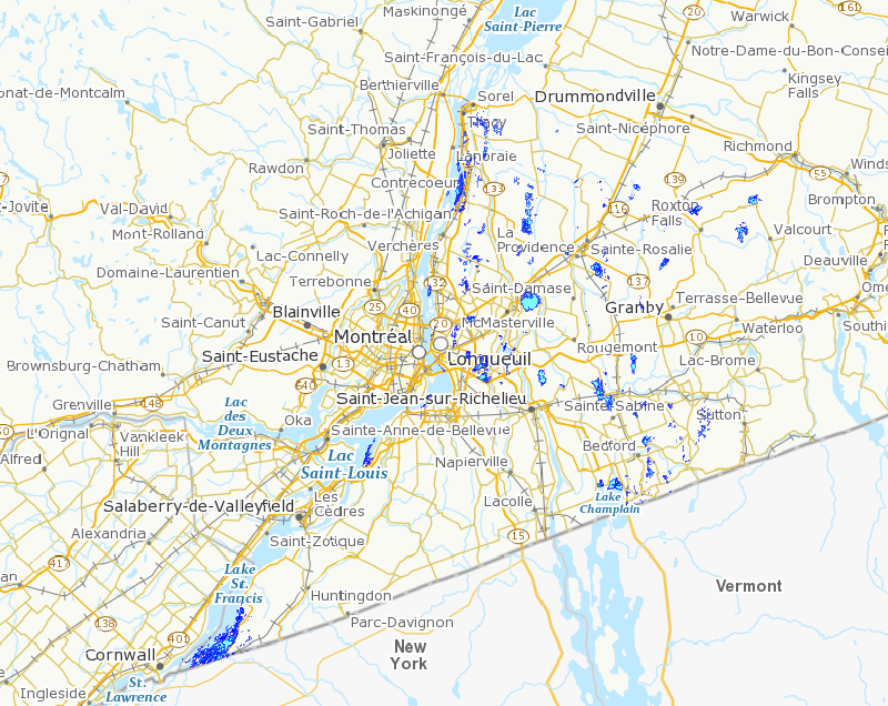
Assessment of changes in wetlands between 1964 and 2006 - Monteregie region
With the aid of aerial photographs from 2006 and the stereoscopic principle, the wetlands of Montérégie were mapped in 2007 as part of a project of the Monteregie Geomatics Agency (GéoMont). The Canadian Wildlife Service had indicated that it needed more up-to-date maps of the wetlands in the region, as well as the ability to evaluate the evolution of these environments to their present condition. Consequently, GéoMont was given a mandate to map the changes in wetlands in Montérégie.
The goal of the project was to map the changes that took place in the wetlands of Montérégie between 1964 and 2006. This included:
the mapping and statistical analysis of changes in the following protected areas:
- Îles de Contrecoeur National Wildlife Area
- Îles de la Paix National Wildlife Area
- Lac Saint-François National Wildlife Area
- Mont Saint-Hilaire Migratory Bird Sanctuary
- Couvée Islands Migratory Bird Sanctuary
- Île aux Hérons Migratory Bird Sanctuary
- Philipsburg Migratory Bird Sanctuary
Also part of the project was the mapping and statistical analysis of changes in a hundred-odd sectors throughout the territory of Montérégie on the basis of a remote sensing inventory produced by the Canadian Wildlife Service.
A number of recommendations were also made with respect to the monitoring of wetlands using geomatic capabilities.
Basic view
Metadata Record Information
- File Identifier
- 95a686e6-3f75-4036-8a95-17cb78cca4eb XML
- Date Stamp
- 2022-07-06T19:05:14
- Metadata language
-
fra; CAN
- Character set
- UTF8
- Hierarchy Level
- Dataset
http://ec.gc.ca
Data identification
- Date (Publication)
- 2008-03-31
- Date (Creation)
- 2015-11-25
- Status
- Completed
- Metadata language
-
fra; CAN
- Character set
- UTF8
- Topic category
-
- Environment
- Maintenance and Update Frequency
- Not planned
- Spatial representation type
- Vector
418-649-6591
Keywords
- Theme
-
-
Wetland
-
Landcover
-
- Place
-
-
Monteregie
-
NWA
-
MBS
-
Lake Saint-Francois
-
Iles de Contrecoeur
-
Iles de la Paix
-
Mont Saint-Hilaire
-
Iles de la Couvee
-
Ile aux Herons
-
Philipsburg
-
-
ECCC Information Category EN
-
-
Nature and Biodiversity - Habitat
-
-
Geography
-
-
Quebec (QC)
-
-
Business Functions
-
-
Oversee and Manage Site Conditions
-
Information Systems for Site Conditions
-
-
Government of Canada Core Subject Thesaurus
-
-
Habitats
-
-
Branch
-
-
Environmental Stewardship Branch
-
-
Directorate
-
-
Canadian Wildlife Service
-
-
GC Security Level
-
-
Unclassified
-
-
local.theme.EC_Content_Scope
-
-
Location
-
- Use Limitation
-
Open Government Licence - Canada ( http://open.canada.ca/en/open-government-licence-canada )
- Access Constraints
- License
- Use Constraints
- License
- Begin Date
- 1964-01-01
- End Date
- 2006-12-31
Extent
))
Ref. system Reference Systems
- Reference system identifier
- http://www.epsg-registry.org / EPSG:4326 /
Distribution
Distribution Formats
- Distribution format
-
-
SHP
(
inconnue
)
-
SHP
(
inconnue
)
http://ec.gc.ca
Overviews
Provided by
