Wildfire hotspots Cumulative Effects products
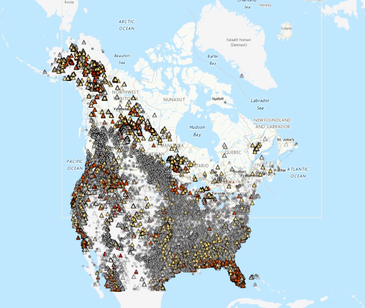
Hotspots are locations where wildfires are actively burning, identified from infrared satellite imagery. Hotspot locations are provided by NASA and NOAA, and further processed by Natural Resources Canada's Canadian Wildland Fire Information System. This layer contains the hotspots that are selected to be used as input for the Regional Air Quality Deterministic Prediction System FireWork (RAQDPS-FW) to enable forecasting air quality while taking into account wildfire emissions. Geographical coverage is Canada and the United States. The products are presented as historical annual compilations which highlight long-term trends in cumulative effects on the environment.
Basic view
Metadata Record Information
- File Identifier
- 574c32db-aba7-4919-9c9f-c58398754173 XML
- Date Stamp
- 2022-10-28T14:50:28
- Metadata language
-
eng; CAN
- Character set
- UTF8
- Hierarchy Level
- Dataset
+01-506-451-6010
Data identification
- Title
-
Wildfire hotspots Cumulative Effects products
- Date (Publication)
- 2022-01-20
- Date (Creation)
- 2020-08-04
- Status
- On going
- Metadata language
-
eng; CAN
- Character set
- utf8
- Topic category
-
- Climatology, meteorology, atmosphere
- Maintenance and Update Frequency
- Continual
- Spatial representation type
- Vector
+01-506-451-6010
Keywords
- Theme
-
-
Air - Quality
-
Atmosphere
-
Hotspots
-
Wildfires
-
-
Government of Canada Core Subject Thesaurus
-
-
Forest fires
-
-
Geography
-
-
International
-
-
Branch
-
-
Meteorological Service of Canada
-
-
Business Functions
-
-
Deliver Weather Products and Services to Clients
-
Provide Weather Information Products and Services
-
-
Directorate
-
-
Weather and Environmental Operations
-
- Use Limitation
-
Open Government Licence - Canada ( http://open.canada.ca/en/open-government-licence-canada)
- Access Constraints
- Other restrictions
- Use Constraints
- Other restrictions
- Begin Date
- 1994-05-01
Extent
))
Ref. system Reference Systems
- Reference system identifier
- http://www.epsg-registry.org / EPSG:4326 /
Distribution
Distribution Formats
- Distribution format
-
- WMS ( 1.3.0)
+01-506-451-6010
Overviews
)))
Provided by
