Canadian Land Data Assimilation System in the National Surface and River Prediction System [experimental]
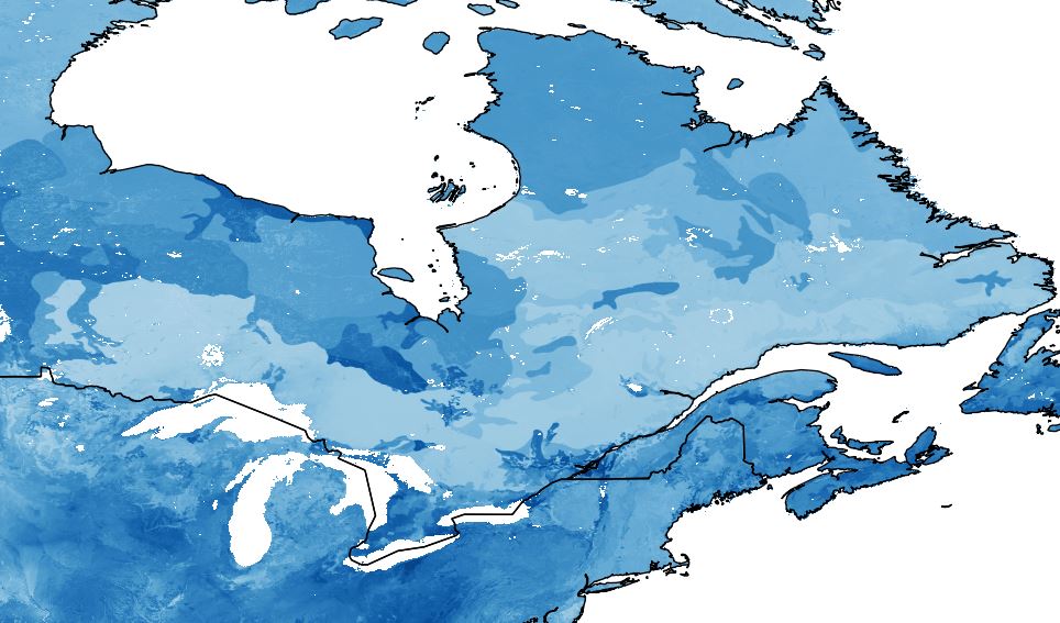
CaLDAS-NSRPS was installed as an experimental system within the National Surface and River Prediction System (NSRPS) at Environment and Climate Change Canada's (ECCC) Canadian Centre for Meteorological and Environmental Prediction (CCMEP) in July 2019. CaLDAS-NSRPS is a continuous offline land-surface assimilation system, which provides analyses of the land surface every 3 h over the domain of the High-Resolution Deterministic Prediction System (HRDPS) at a 2.5 km grid spacing. The emphasis in CaLDAS-NSRPS is to focus upon the assimilation of satellite based remote sensing observations to provide the optimal initial conditions for the predictive components of the NSRPS, the High Resolution Deterministic/Ensemble Land Surface Prediction System (HRDLPS/HRELPS) and the Deterministic/Ensemble Hydrological Prediction Systems (DHPS/EHPS). CaLDAS-NSRPS is launched 4 times per day, at 0000, 0600, 1200, and 1800 UTC.
Basic view
Metadata Record Information
- File Identifier
- 3959c86b-b555-4ad8-9fcc-8fecfb79918c XML
- Date Stamp
- 2024-04-09T17:49:24
- Metadata language
-
eng; CAN
- Character set
- UTF8
- Hierarchy Level
- Dataset
+01-506-451-6010
Data identification
- Date (Publication)
- 2023-04-06
- Date (Creation)
- 2022-11-16
- Status
- On going
- Metadata language
-
eng; CAN
- Character set
- utf8
- Topic category
-
- Climatology, meteorology, atmosphere
- Maintenance and Update Frequency
- Continual
- Spatial representation type
- Grid
+01-506-451-6010
Keywords
- Theme
-
-
Assimilation
-
Prediction
-
Land surface
-
Soil moisture
-
Dew point
-
Surface radiative temperature
-
-
Government of Canada Core Subject Thesaurus
-
-
Rivers
-
Air temperature
-
Meteorological data
-
-
Business Functions
-
-
Provide Weather Information Products and Services
-
Deliver Weather Products and Services to Clients
-
-
Branch
-
-
Meteorological Service of Canada
-
-
Directorate
-
-
Weather and Environmental Operations
-
-
GC Security Level
-
-
Unclassified
-
-
Geography
-
-
International
-
- Use Limitation
-
Open Government Licence - Canada ( http://open.canada.ca/en/open-government-licence-canada )
- Access Constraints
- Other restrictions
- Use Constraints
- Other restrictions
- Begin Date
- 2022-11-16
Extent
))
Ref. system Reference Systems
- Reference system identifier
- http://www.epsg-registry.org / EPSG:4326 /
Distribution
Distribution Formats
- Distribution format
-
-
NetCDF
(
4
)
-
WMS
(
1.3.0
)
-
NetCDF
(
4
)
+01-506-451-6010
Overviews
Provided by