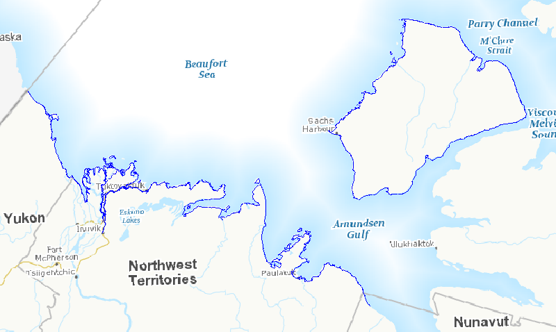
Shoreline mapping vector data for the Canadian Arctic based on low-altitude helicopter geo-tagged videography: Beaufort Sea 2010-2012
In the face of increasing economic opportunities in Canada's northern regions, the need to improve our state of preparedness for oil spill related emergencies in particular is critical. While significant efforts have been put towards documenting baseline coastal information across Canada’s southern regions, there is a large information gap regarding Arctic shorelines. Baseline coastal information such as shoreline form, substrate and vegetation type, is required for operational prioritization, coordination of on-site spill response activities (i.e., SCAT: Shoreline Cleanup and Assessment Technique), as well as providing valuable information for wildlife and ecosystem management. A standardized methodology was developed to map shoreline characteristics at six study sites across the Canadian Arctic: James Bay, Resolute Bay, Hudson Bay, Labrador Coast, Victoria Strait, and Beaufort Sea. Geo-referenced high definition videography was collected during the summers of 2010 to 2012 along coastlines within the study sites. Detailed information (i.e. shoreline type, substrate, form, height, slope, fetch, access type, exposure, etc.) describing the upper intertidal, supratidal, and backshore zones was extracted from the video and entered into a geospatial database using a data collection form. This information was used to delimit and map alongshore segments in the upper intertidal zone. The result is a vector dataset containing thousands of linear shoreline segments ranging in length from 200 m and 2 km long. In total, almost seven thousand kilometers of northern shorelines were mapped, including twenty five different shoreline types based on the upper intertidal zone. This information will feed into a larger ongoing project focused on Arctic coastal ecosystems as well as serve as valuable information for oil spill response planning should the need arise. This database also provides valuable information for habitat management, local shoreline planning, can feed into environmental assessments or be used to aid research site selection.
Basic view
Metadata Record Information
- File Identifier
- 32130953-78cf-48f1-9912-f97d642b0ad9 XML
- Date Stamp
- 2022-01-26T03:44:13
- Metadata language
-
eng; CAN
- Character set
- UTF8
- Hierarchy Level
- Series
http://ec.gc.ca
Data identification
- Title
-
Shoreline mapping vector data for the Canadian Arctic based on low-altitude helicopter geo-tagged videography: Beaufort Sea 2010-2012
- Date (Publication)
- 2015-06-02
- Date (Creation)
- 2015-06-02
- Status
- Completed
- Metadata language
-
eng; CAN
- Character set
- UTF8
- Topic category
-
- Environment
- Maintenance and Update Frequency
- Not planned
- Spatial representation type
- Vector
613-990-9941
Keywords
-
external.theme.EC_Branch
-
-
Science and Technology Branch
-
-
external.theme.EC_Directorate
-
-
Wildlife and Landscape Science
-
-
external.theme.EC_Program_PAA
-
-
1.3.2. Ecosystem Assessment and Approaches
-
-
external.theme.GC_Security_Level
-
-
Unclassified
-
-
ECCC Information Category EN
-
-
Nature and Biodiversity - Habitat
-
-
Geography
-
-
Territories - Northwest Territories (NT)
-
-
Business Functions
-
-
Oversee and Manage Site Conditions
-
Expand Scientific Knowledge / Develop New Methodologies for Assessing Site Conditions
-
-
Government of Canada Core Subject Thesaurus
-
-
Oil spills
-
- Use Limitation
-
Open Government Licence - Canada ( http://open.canada.ca/en/open-government-licence-canada)
- Access Constraints
- Copyright
- Use Constraints
- License
- Begin Date
- 2010-01-01
Extent
))
Ref. system Reference Systems
- Reference system identifier
- EPSG / EPSG:4326 /
Distribution
Distribution Formats
- Distribution format
-
- SHP ( 1.0)
- CSV ( 1.0)
- JSON ( unknown)
http://ec.gc.ca
Overviews
)))
Provided by
