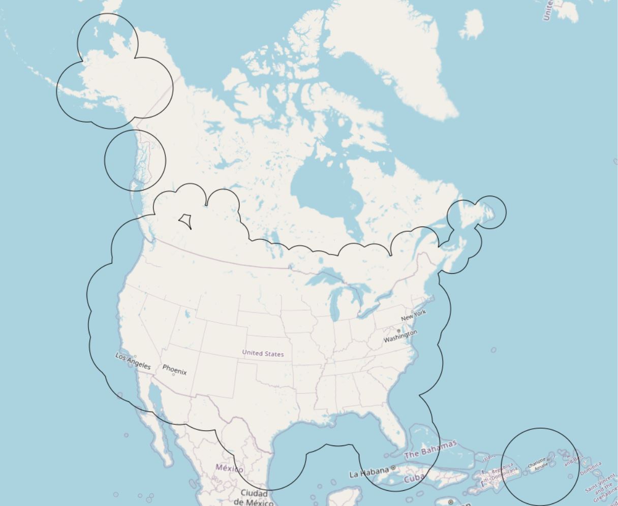
Dynamic Radar Composite Coverage
Radar coverage is provided to dynamically display the zones covered by the radars every 6 minutes, and to provide information on the availability (or not) of the contributing radars as well as on the areas of overlap.
Basic view
Metadata Record Information
- File Identifier
- 6b02c778-8eaa-46f5-8786-ae80b0ea0f72 XML
- Date Stamp
- 2024-04-09T15:31:40
- Metadata language
-
eng; CAN
- Character set
- UTF8
- Hierarchy Level
- Dataset
+01-506-451-6010
Data identification
- Date (Publication)
- 2023-02-02
- Date (Creation)
- 2018-04-25
- Status
- On going
- Metadata language
-
eng; CAN
- Character set
- utf8
- Topic category
-
- Climatology, meteorology, atmosphere
- Maintenance and Update Frequency
- Continual
- Spatial representation type
- Vector
+01-506-451-6010
Keywords
- Keywords
-
-
Atmospheric conditions
-
Meteorology
-
Radar coverage
-
-
Government of Canada Core Subject Thesaurus
-
-
Radar
-
Remote sensing
-
Weather
-
-
Business Functions
-
-
Provide Weather Information Products and Services
-
Deliver Weather Products and Services to Clients
-
-
Branch
-
-
Meteorological Service of Canada
-
-
Directorate
-
-
Weather and Environmental Operations
-
-
Geography
-
-
International
-
- Use Limitation
-
Open Government Licence - Canada ( http://open.canada.ca/en/open-government-licence-canada )
- Access Constraints
- Other restrictions
- Use Constraints
- Other restrictions
- Begin Date
- 2018-04-25
Extent
))
Ref. system Reference Systems
- Reference system identifier
- http://www.epsg-registry.org / EPSG:4326 /
Distribution
Distribution Formats
- Distribution format
-
-
WMS
(
1.3.0
)
-
WMS
(
1.3.0
)
+01-506-451-6010
Overviews
Provided by